In 1920, with a population of 5,000 people, the Kluang Municipal Board was established and headed by a Health Officer. Starting in 1932, the District Officer of Kluang held the position of President of the Kluang Municipal Board. In 1957, the Kluang Municipal Board was upgraded to the Kluang Municipal Council, with the District Officer of Kluang as the Chairman. Five years later, in 1962, five Local Councils were established: Kampong Paya Local Council, Kampong Gajah Local Council, Sri Lalang Local Council, Chamek Local Council, and Paloh Local Council. With the restructuring of Local Councils, on January 1, 1997, the Kluang Municipal Council was merged with the other five Local Councils to form the Kluang North District Council under the Local Government Act 1976 (Act 171). The administration of the Kluang North District Council was expanded to cover an area of 126.5 square miles with a population exceeding 65,000 people.

The rapid development of Kluang Town continued to demand efficient and effective services. The administrative structure of the Kluang North District Council required changes. As a pioneering step towards changing its management style, the position of Chairman was filled full-time by a Johor State Administrative Officer starting from March 1, 1999. After meeting the criteria set by the Director-General of Local Government Malaysia with the agreement of the Malaysian Election Commission, the Johor State Executive Council, through Meeting Summary No. 86/2001 dated January 31, 2001, decided to upgrade the status of the Kluang North District Council to a Municipal Council. The proclamation day of the Kluang Municipal Council was subsequently held on May 8, 2001.

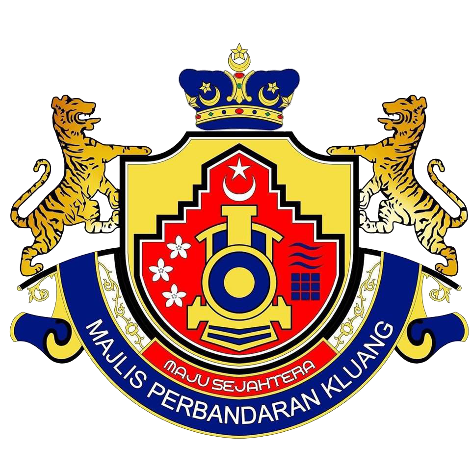
The Kluang Municipal Council has been empowered by the Local Government Act 1976 (Act 171) and several other related acts and By-Laws to carry out its functions and responsibilities. Located in the center of the state of Johor Darul Ta'zim, Kluang is surrounded by all districts except Muar and Johor Bahru. To date, the area of the Kluang district is 285,164.132 hectares, with the administrative area of the Council covering 185,674.00 hectares. Kluang is easily accessible to other cities through a network of roads and railways. In line with the rapid development of the state of Johor, in 2018, the districts within the state of Johor were required to realign their administrative emblems to streamline the distinctiveness of each district. Taking into account Kluang's strength, anchored by railways as a key element of its rapid development, the Kluang Municipal Council introduced and adopted their new administrative emblem. It is hoped that Kluang will continue to grow and achieve success, focusing on a Prosperous Kluang and a Livable City.


